Methane’s a climate menace. Some climate scientists estimate that the potent greenhouse gas may be responsible for up to 30% of changes we’re experiencing today. Many countries with track records of major methane emissions know this: At COP26 in 2021, the nations responsible for 45% of the global total pledged to reduce their footprint by 30% by the end of the decade. Tracking where exactly methane comes from, though, is a tricky task. The gas often comes from unattended drill sites or places where leak-detection tech and inspections can be all but nonexistent, The New York Times reports.
Want more Earth-saving tips?
Subscribe to the one5c newsletter here
So, to get a better look at the biggest sources of the planet-warming molecule, companies have taken to the skies. But until last week, this crop of methane-sniffing satellites has had blind spots. For example, the European Space Agency’s TROPOMI looks for methane at the global level and across large-scale regions. The Italian Space Agency’s PRISMA and the Carbon Mapper, on the other hand, can ID smaller hotspots.
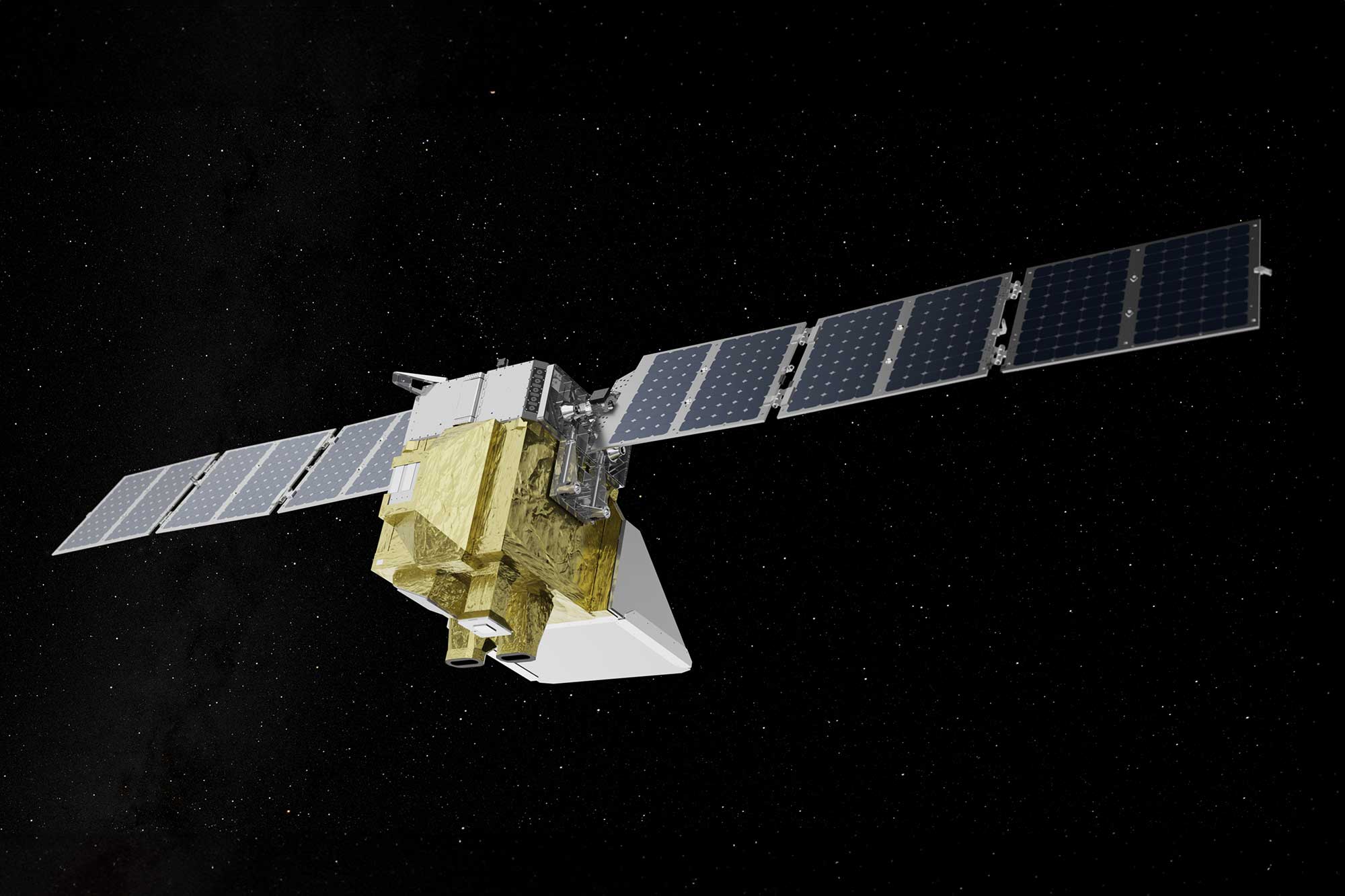
MethaneSAT—a orbiter developed by several partners including the Environmental Defense Fund that launched last week—can do both. Here’s what that means for our ability to get our global methane issues in check.
How the MethaneSAT works
One of the most crucial differences between MethaneSAT and the other gas-searching satellites is its ability to see both the big picture zones and major emitting events as well as tinier hotspots that end up releasing outsized portions of methane. Its imagers can see methane across a whole state or even a country, while being able to point the finger at exactly which drilling spot a leak is starting from (and therefore, who is responsible for fixing it). The system uses an imaging device called a spectrometer, which is able to measure the narrow part of the infrared spectrum where methane absorbs light coming from Earth.
With it, the washing-machine-sized satellite can theoretically keep tabs on 80% of global oil and gas production while it circles the Earth once every 100 minutes. That means it’s sweeping overhead 15 times every single day.
Tech that keeps fossil fuels in check
In the push to curb methane emissions, MethaneSAT stands to be a major tool for accountability and transparency. The data it produces will be publicly available through Google’s Earth Engine starting next year. Yep, anyone can see the scoop on where the methane is coming from.
The International Energy Agency and the United Nations Environment Programme are already signed on to use this data to keep their climate analyses up to date. Regular folks can use it to keep the big guys accountable, too, but major players are also lining up. Bloomberg Philanthropies is set to build a watchdog group to make sure methane commitments from COP26 aren’t all hot air.

